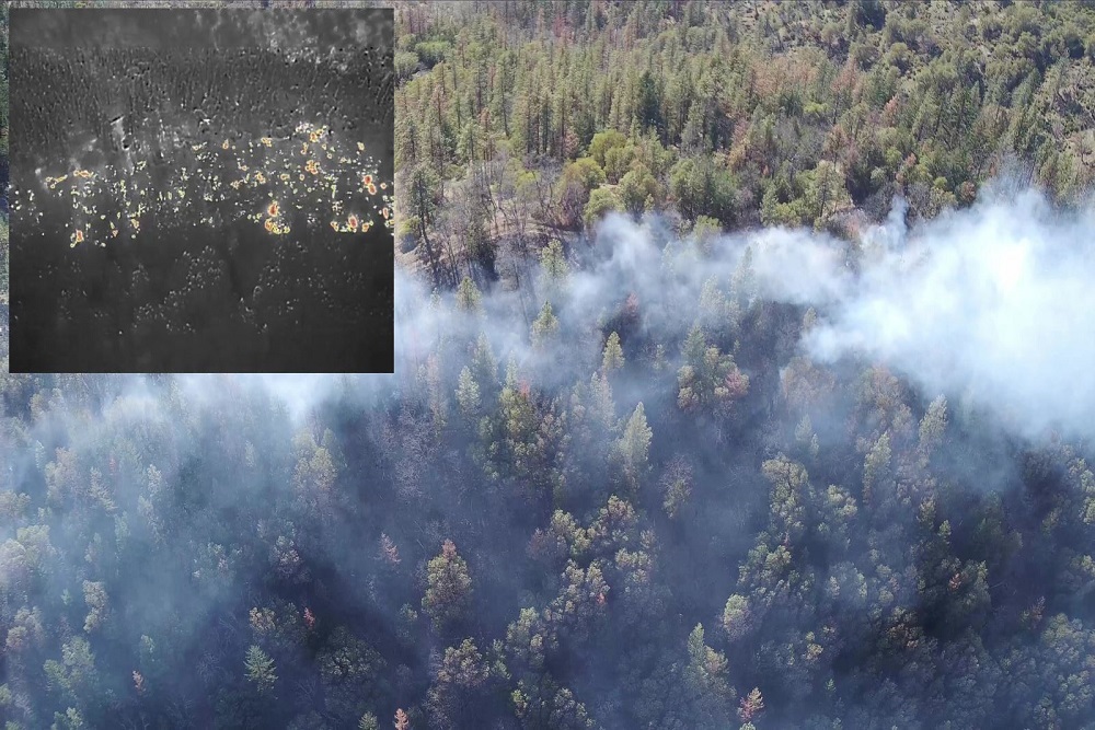
Although the ground is still very moist, prescribed fire crews have detected good conditions for beginning our first opportunity this spring to bring back good fire to protect our community and watershed from severe summer fires. Grayback Forestry and Lomakatsi Restoration Project are managing a controlled burn on private-land west of town high above Ashland Mine Road on behalf of the Ashland Forest Resiliency all-lands program.
Smoke Could Impact Neighborhoods on the Western Edge of Ashland
- Neighborhood Impact: Based on last year’s burns in this location, we know that smoke can impact homes in the Wright’s Creek neighborhood, Ashland Mine Road to North Main St, and down to Hwy 99 at Valley View Road in the evening and overnight hours.
- Recommended Precautions: If you smell smoke; consider staying inside, close windows and turn on air filters. Visit smokewiseashland.org for health recommendations.
- Smoke Visible: Smoke will be visible during the day from Ashland, Talent, and much of the valley with views toward Ashland. Please do not report smoke unless it is not located in the area of the burn.
More Information
- For burn day text notifications, text the word "WATERSHED" in the message line to 888777 as the recipient. You will get an auto-confirmation text when you sign-up. You can also download the Everbridge/Nixle app to get alerts.
- Ashland Forest Resiliency website
- Sign-up for email alerts at ashlandwatershed.org
- AFR Facebook
- Smoke and Health Info: smokewiseashland.org
- See controlled burns on the watershed camera


 Alerts Sign-up